The Keys to the TempleDavid Furlong's book is interesting in many respects, not least in the outlining of his theory that two large overlapping circles are laid out using megalithic and other sites on the Marlborough Downs in England, each circle with a diameter of 12 miles. Since David gives the OS grid references for each of the points that define the circumferences of these circles, I thought it'd be worthwhile to go to each point and see what was actually there. This is 'in progress', and these pages will be updated with images and GPS-found latitude and longitude coordinates of each point over the course of the year 2000. The two circles are referred to in David's book as the 'Western' circle and the 'Eastern' circle. For each site the coordinates quoted by David are affixed with 'RF', and the lat/long coordinates found from using a Garmin III Plus handheld GPS receiver at the location are affixed 'GPS'. Eastern Circle
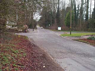
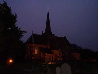
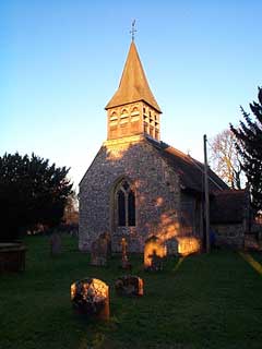
More location shots to follow later
|
|||||||||||||||||||||||||||||||